Flood Risk Map – Check UK Flood Zones by Postcode
See flood zones and water risks instantly with our map. Ensure Planning Approval with a Professional Flood Risk Assessment


21+
Years of Experience
Flood Risk Map
Flood risk map tools help you quickly see if flooding could affect your home, street, or community. Just type in a postcode and explore clear, easy-to-read layers showing flood zones, surface water, and live warnings.
At RIDA Reports, we make complex flood data simple so you can feel confident about your next move.
Our Services

Flood Risk Assessments
Our flood risk assessments provide evidence that your development is compliant with the Planning and the Environment Agency regulations.
Learn More
Drainage Strategies
RIDA Drainage Consultancy provides a comprehensive range of drainage solutions and services to cater to the needs of any property, regardless of its size.
Learn More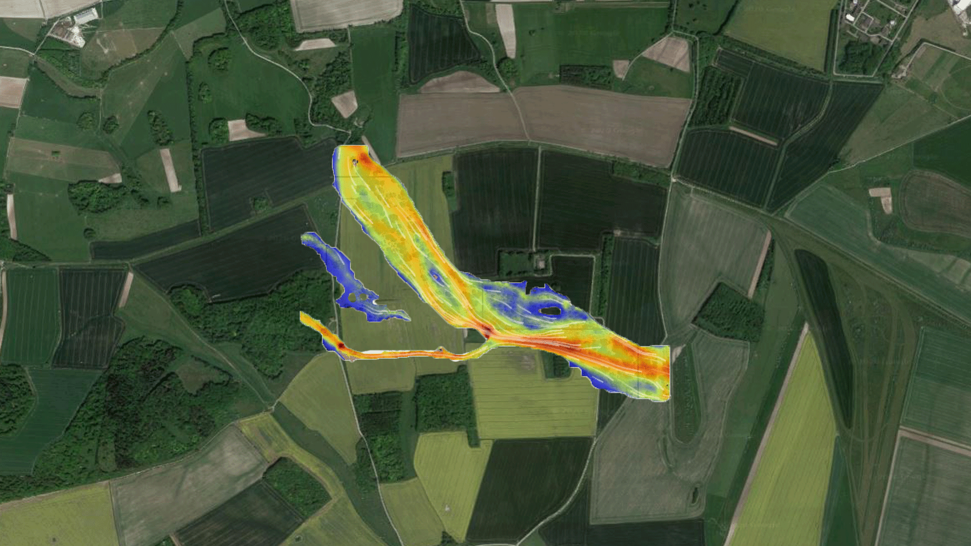
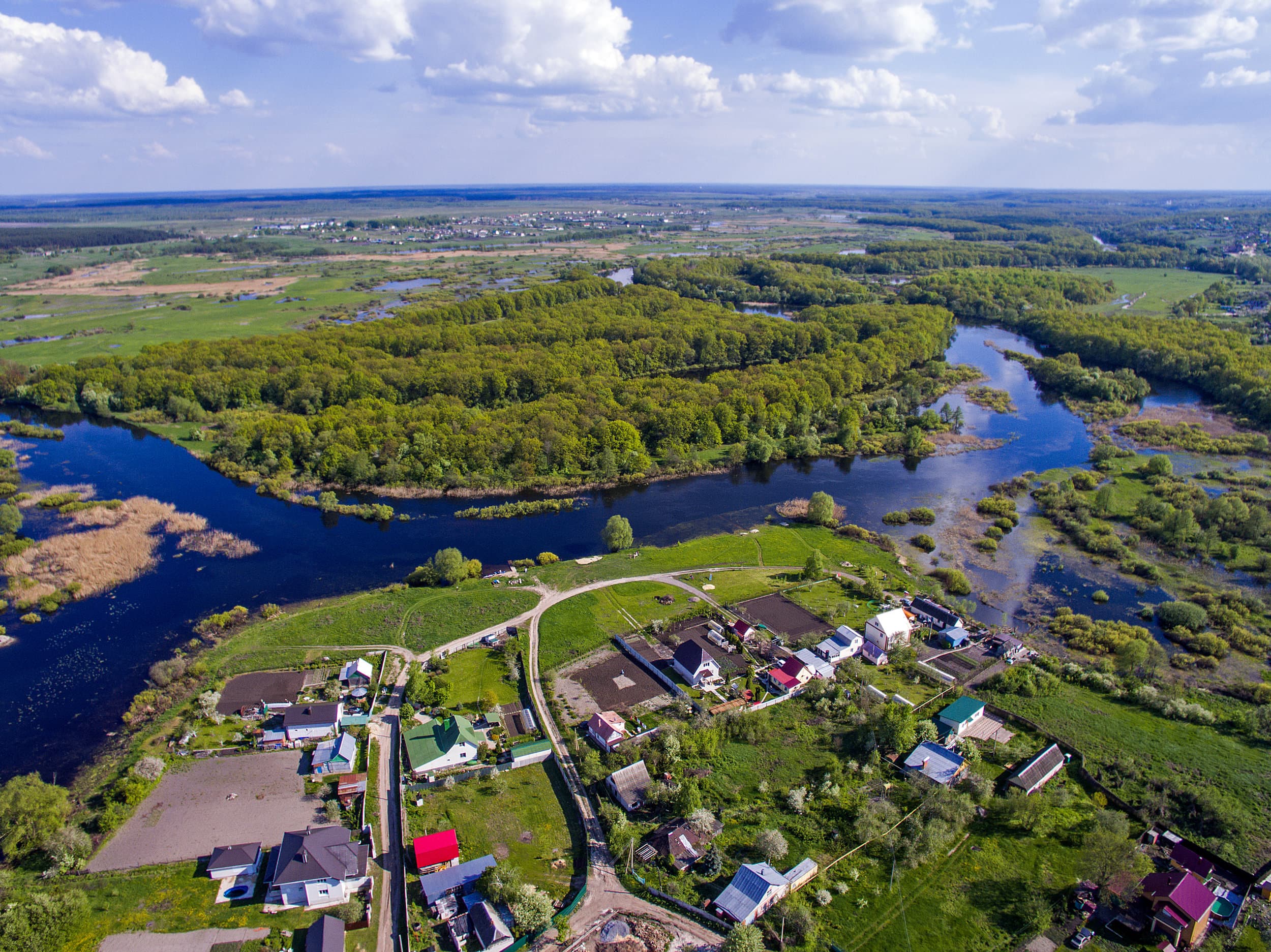
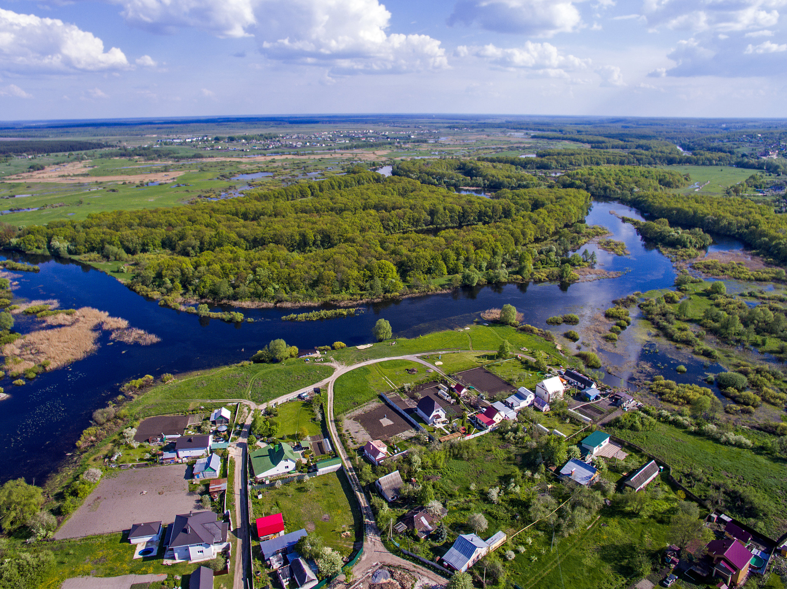
River Modelling
Our models create a representation of the flood zones to clearly quantify the extent, velocity and depth of flood and our experience provides clear guidance
Learn MoreOur Clients


High Risk Flood Zones
Find out your flood risk in seconds
Click Here
Engineering Insights
All the maps in one place
Instead of searching across multiple websites, our flood risk map combines official data from the Environment Agency and Local Lead Flood Authorities (LLFAs) into a single, easy-to-use tool.
Clear, postcode-level results
With our interactive flood risk map, you can enter any UK postcode and instantly view the flood risk for that location. The map highlights flood zones, surface water flooding areas, and nearby rivers or seas, giving you a quick, reliable overview of potential flood hazards.
Trusted insights
Our flood risk map uses the same official datasets relied on by planners and insurers. It provides a dependable starting point for homebuyers, property investors, and developers. For those needing more detail, RIDA Reports offers comprehensive reports that expand on the map with tailored property-level flood risk analysis.